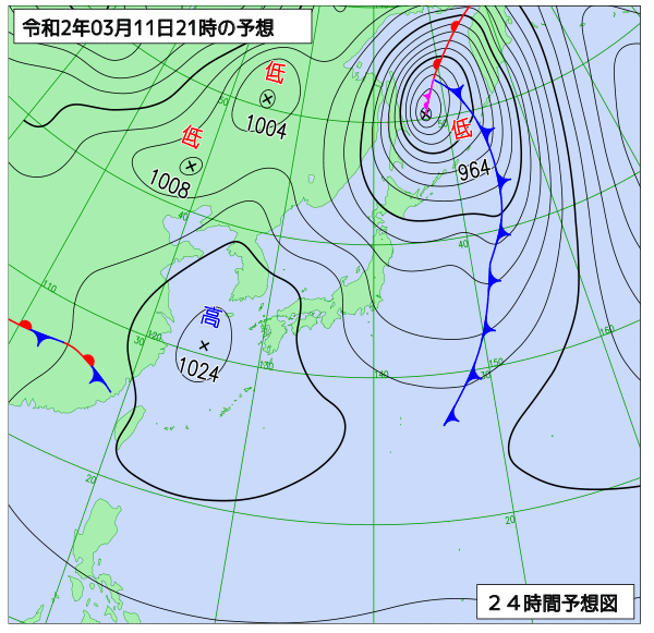
【実況〜明日にかけて】
![](https://optix.main.jp/winter/wp-content/uploads/2020/03/20031103.png)
![](https://optix.main.jp/winter/wp-content/uploads/2020/03/aupq35_202003102100-1024x716.png)
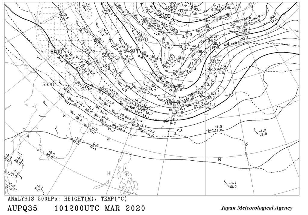
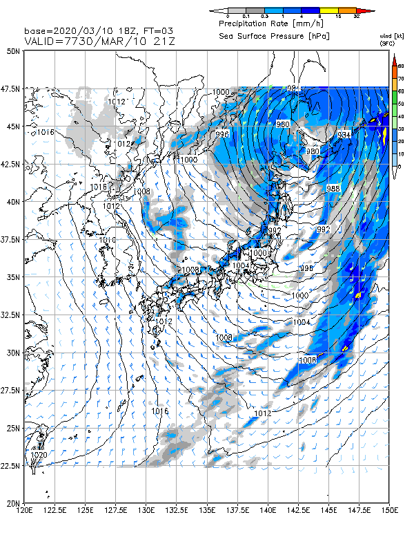
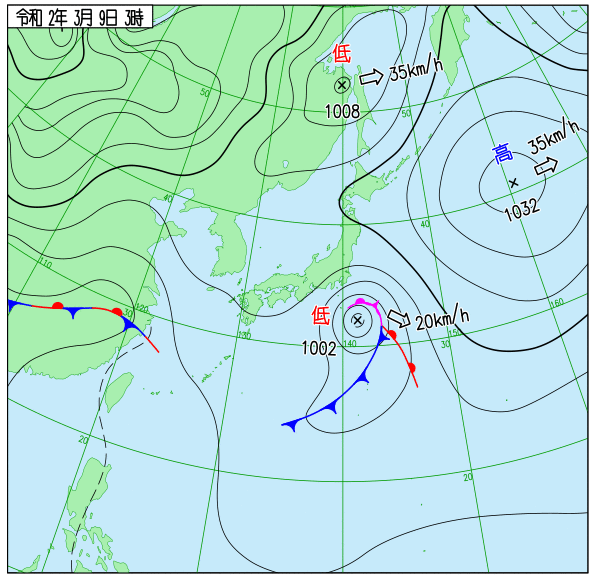
北日本の500hPa5400~5460mにはトラフがあり、対応する低気圧が北海道地方にあって、北東に進んでいる。北日本の海上では非常に強い風が吹いて、大しけとなっている所があるほか、全国的に風が強く、波が高くなっている。
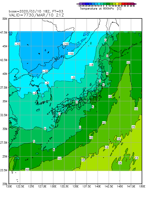
低気圧に向かって下層暖湿気が流入し、北海道地方で24 時間雨量が90mm を超えた所があるほか、気温が9℃近くに達し、この時期としては高くなっている。
中国東北区の500hPa5280~5340m には、-30℃以下の寒気を伴ったトラフがあって東進。
![](https://optix.main.jp/winter/wp-content/uploads/2020/03/R2003101800_003-1.png)
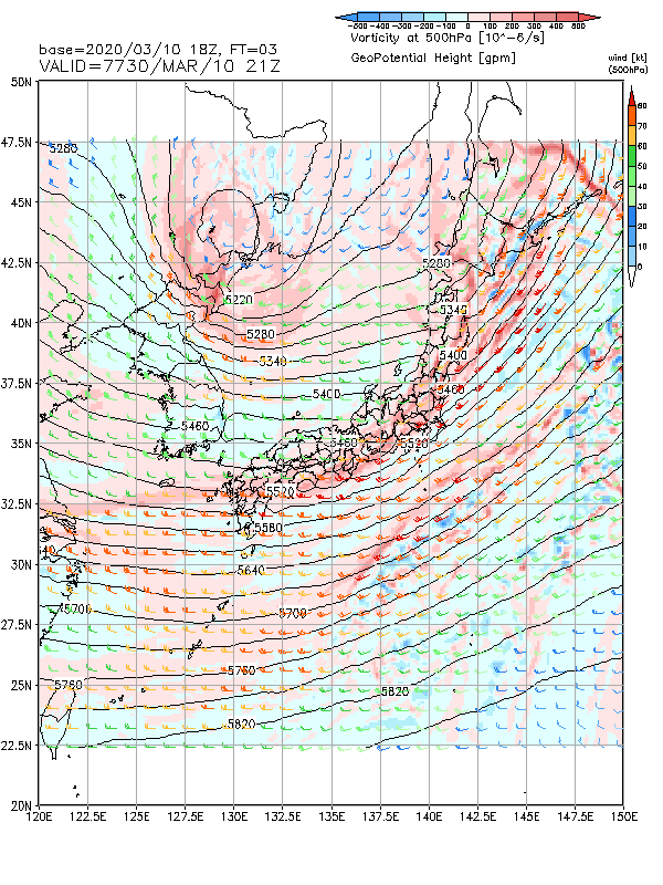
低気圧は11 日朝にはオホーツク海に移動して、北東に進みながらさらに発達。日本付近は冬型気圧配置に。
![](https://optix.main.jp/winter/wp-content/uploads/2020/03/R2003101800_003.png)
![](https://optix.main.jp/winter/wp-content/uploads/2020/03/R2003101800_003-2.png)
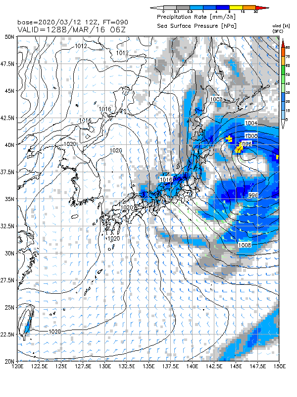
中国東北区のトラフは11 日夜にかけて北日本を通過、大気の状態が不安定となる。東北地方日本海側と北陸地方では、落雷や突風に注意。
![](https://optix.main.jp/winter/wp-content/uploads/2020/03/20031121.png)
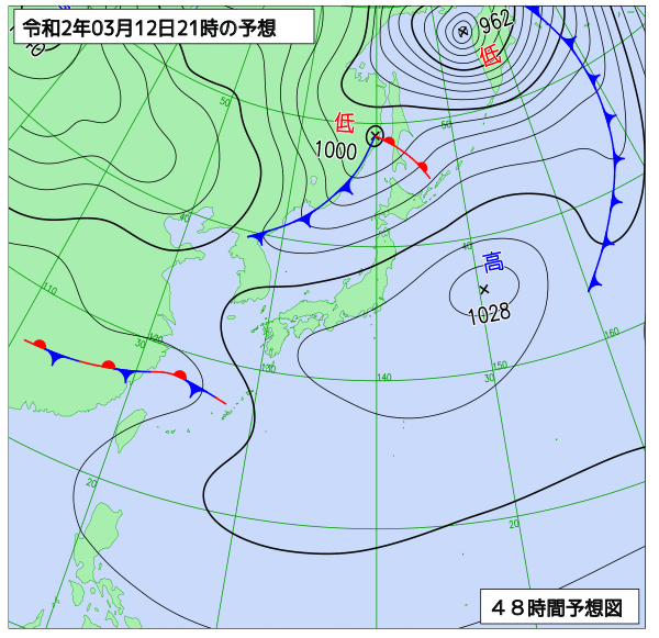
トラフは12 日朝には北海道の東に進んで、日本付近は東西流場となる。移動性高気圧が東シナ海から西日本に進んで、東日本まで広く覆う。北日本は、オホーツク海の低気圧と移動性高気圧との間で気圧の傾きが大きく、風が強く波が高い状態が続き、強い風が吹くおそれがある。
![](https://optix.main.jp/winter/wp-content/uploads/2020/03/20031221.png)
【週間の予想】
![](https://optix.main.jp/winter/wp-content/uploads/2020/03/fzcx50_202003102100-871x1024.png)
14日〜16日くらいにかけて気温の低い日が続く。
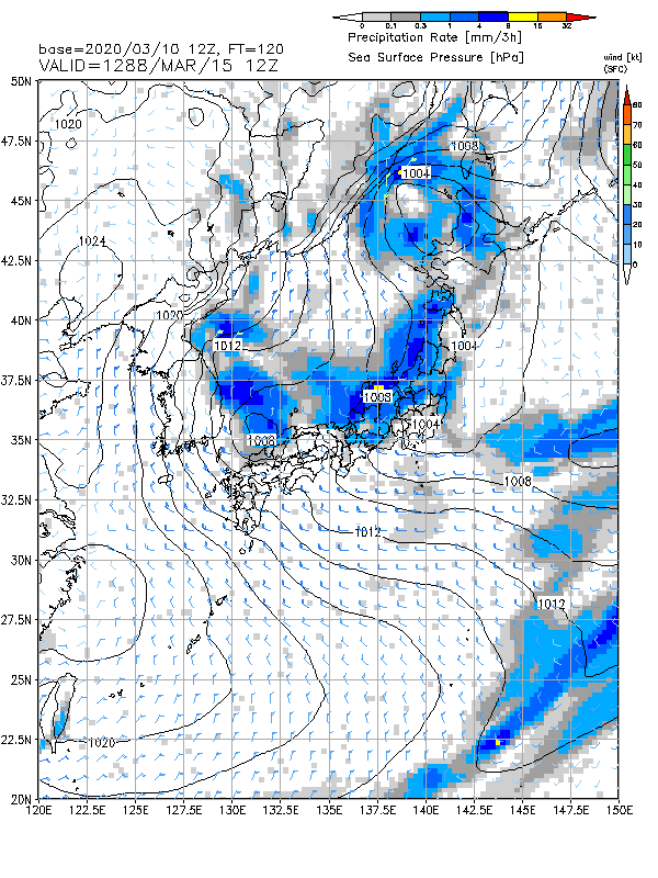
![](https://optix.main.jp/winter/wp-content/uploads/2020/03/R2003101200_120-1.png)
![](https://optix.main.jp/winter/wp-content/uploads/2020/03/R2003101200_120.png)
15日夜から降雪期待。
![](https://optix.main.jp/winter/wp-content/uploads/2020/03/R2003101200_132.png)
![](https://optix.main.jp/winter/wp-content/uploads/2020/03/R2003101200_132-1.png)
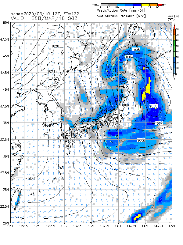
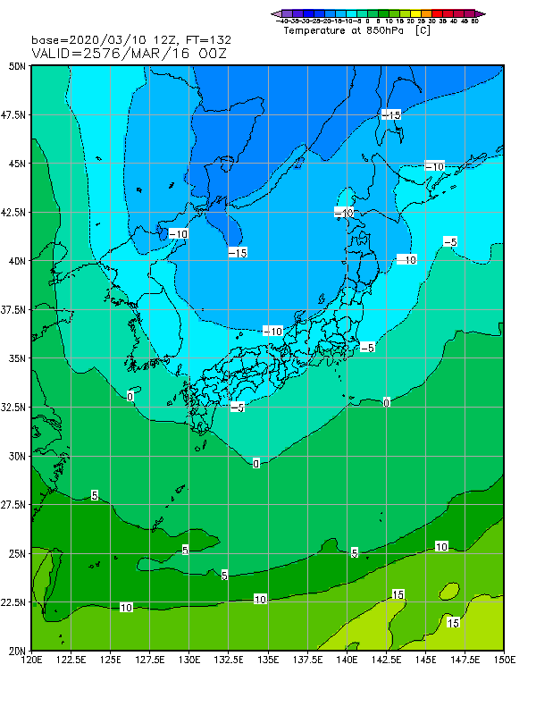
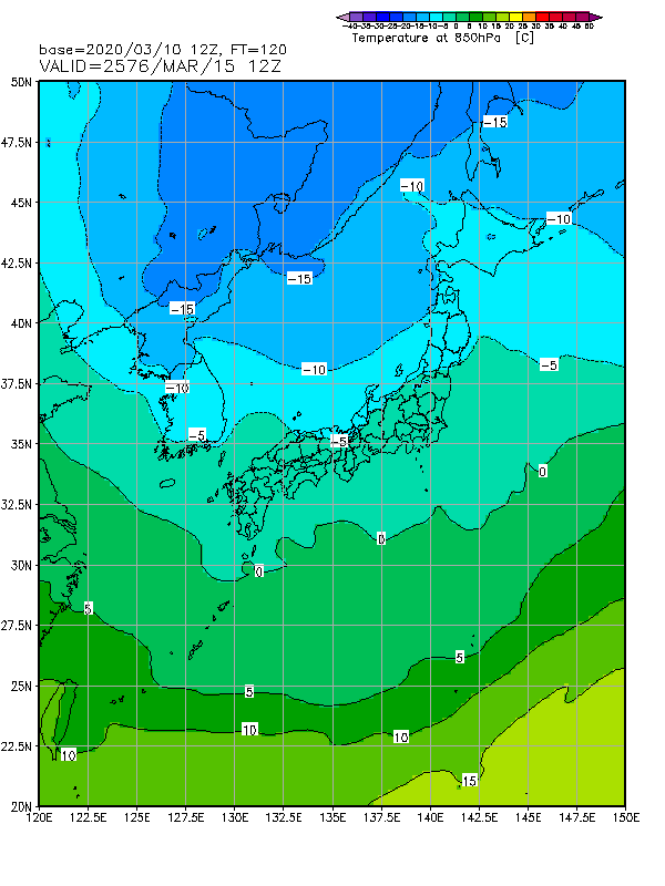
16日。北海道にT500=-36℃(GSMではT500=-42℃
以下)がかかり、T850=-6℃が東日本~山陰付近まで南下する。日本付近は北西流場。地上は冬型の気圧配置。
![](https://optix.main.jp/winter/wp-content/uploads/2020/03/R2003101200_144.png)
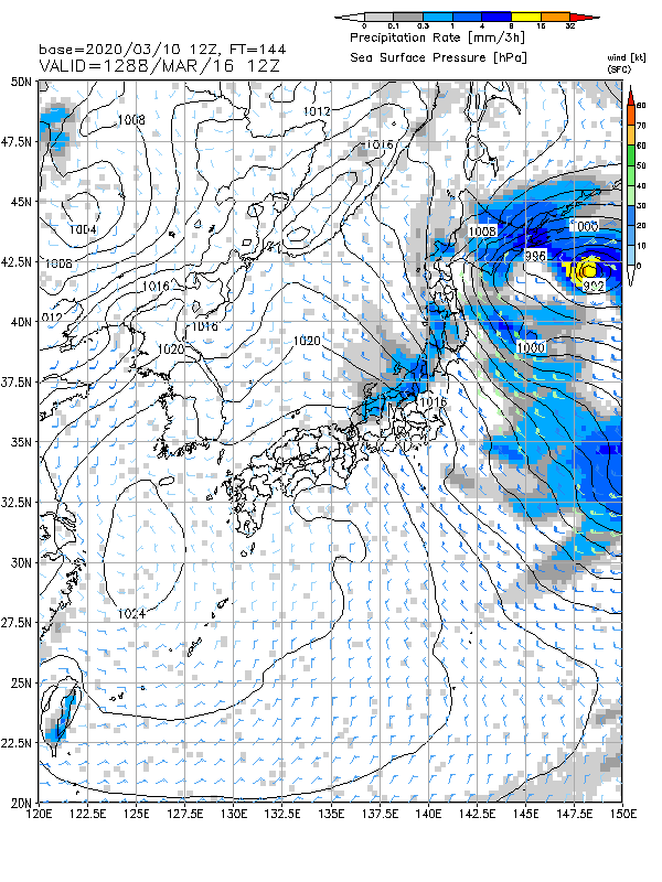
16日21時。15日夜〜16日夜までに、大量降雪期待。
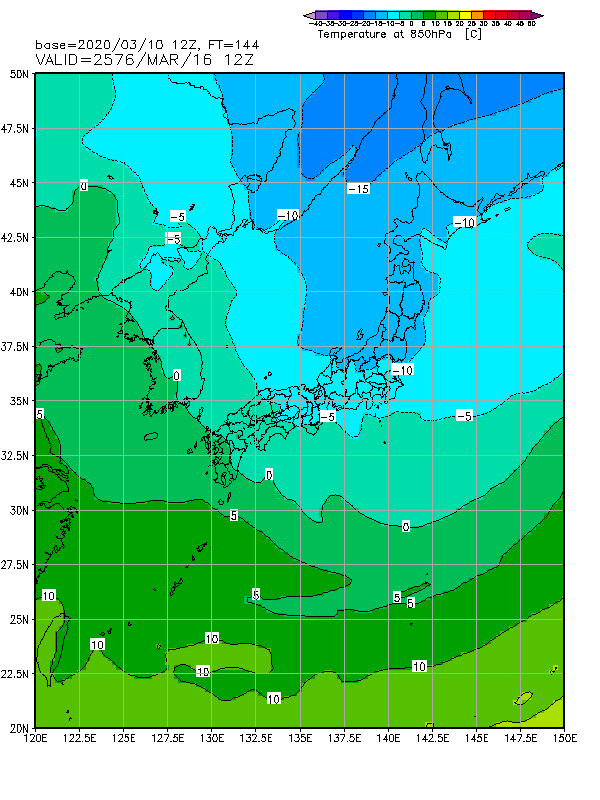
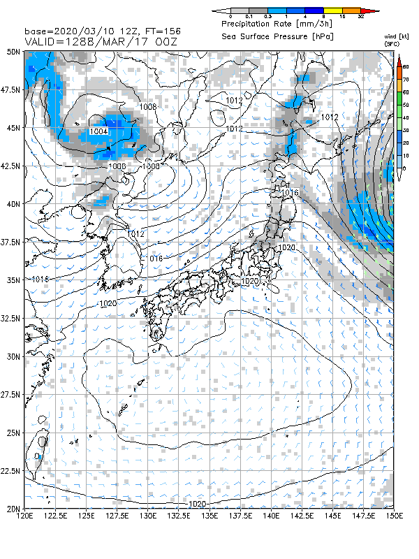
![](https://optix.main.jp/winter/wp-content/uploads/2020/03/R2003101200_144-1.png)
![](https://optix.main.jp/winter/wp-content/uploads/2020/03/R2003101200_156.png)
17日、冬型緩む。
16日〜17日はパウダーチャンスとなりそう。期待しましょう。
コメント